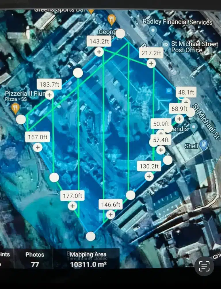
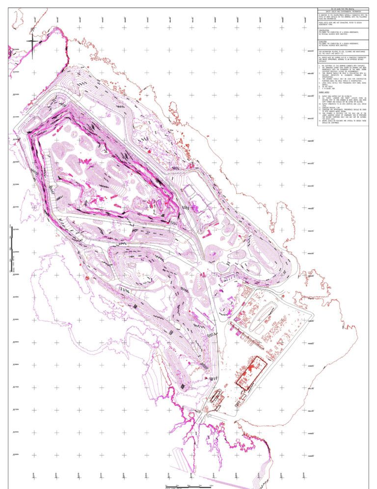
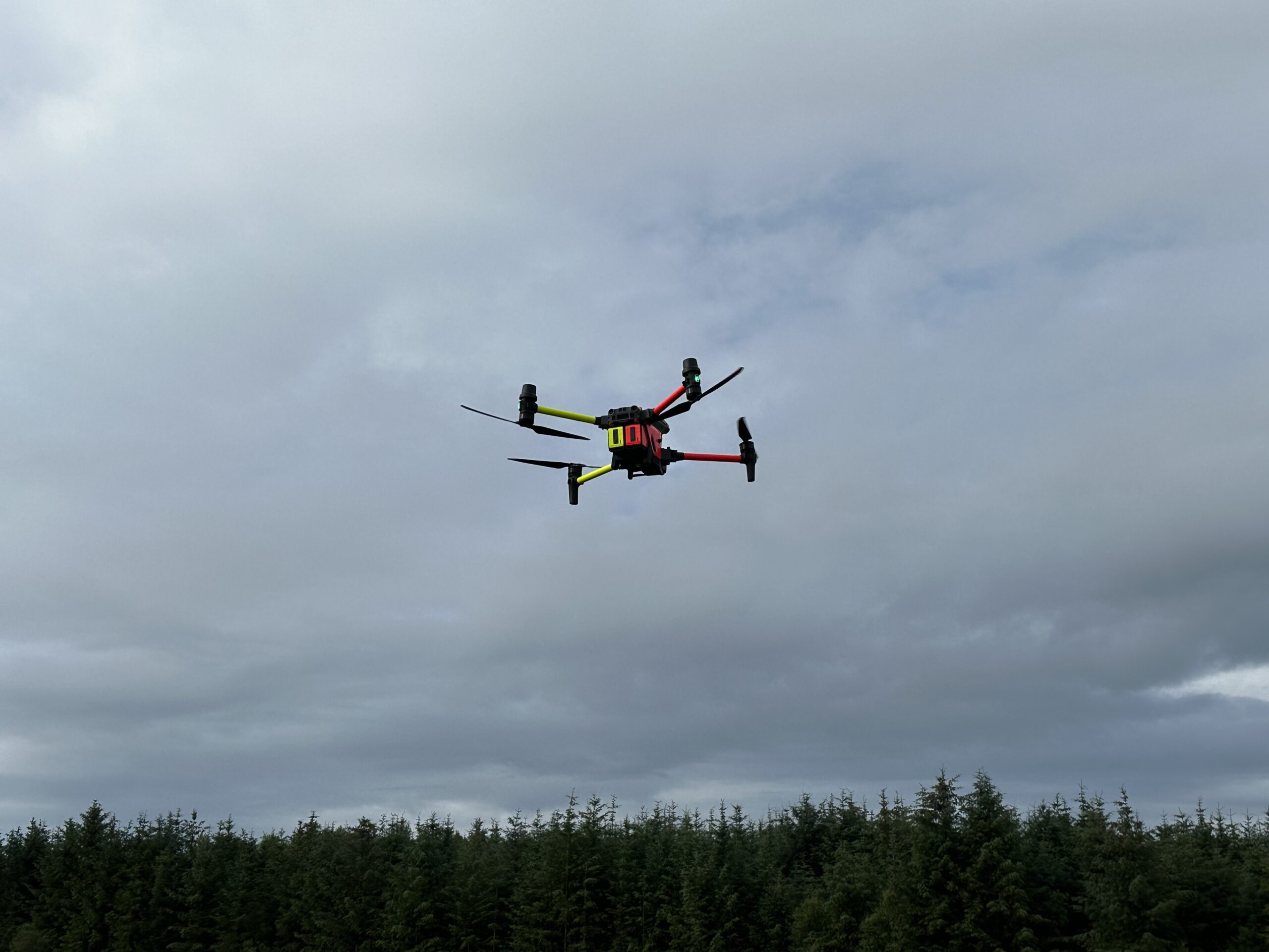
Using advanced drone technology to Map and model large areas quickly to produce data for accurate 2D and 3D models.
Generate scale maps without using GCPs while meeting centimeter-level accuracy requirements.
Improve the efficiency of data collection and processing up to 10 times, acquiring deliverables quickly and shortening project lifecycles.
Gain industry-standard outputs like DOM, DSM, 3D reality models and more.
Traditional Challenges in Conducting Topographic Surveys
Large amounts of field work is required, involving multiple teams and stakeholders. Project costs are high with lengthy timelines.
Projects are often delayed due to inefficient data collection methods.
Contour data is not part of the standard deliverable, resulting in difficulties in data visualization.


Privacy Policy | Cookie Policy
Website developed by Yellow Tram Creative